The ISRO INSAT shows active thunderstorms and strong convection over eastern India, but spare cloud cover over central and western India.
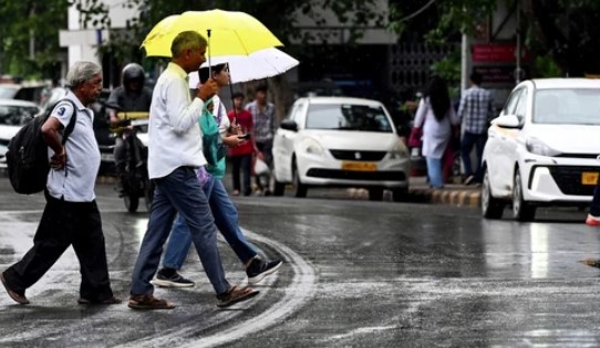
Nearly two weeks into the onset of the southwest monsoon in Kerala on June 4, several parts of India are witnessing rainfall, ranging from light to heavy. While parts of northwest, east and south India have been receiving showers over the past week, the monsoon does not seem to have had an impact on the western parts yet.
This comes even as a crop situation review presented before the Maharashtra cabinet showed that the state had received only 26 per cent of its normal rainfall in the first half of June, PTI news agency reported. Moreover, according to the India Meteorological Department Nowcast, a larger part of the country on Wednesday has no alerts or weather warning and remains green, thus signalling no rainfall prediction in these parts at present.
While these signs raise concerns, incoming data for the weather activity and cloud cover over India by three different satellites hints at a worrying situation.
Uneven distribution, dry air over parts: What does data from satellites say?
Satellite images from the Meteosat (IODC), operated by Eumetsat, show thick cloud masses over the northern Bay of Bengal, implying that the monsoon is functioning relatively normally in states like Odisha, West Bengal, Jharkhand and Bihar, with northeast India also receiving showers.However, the Meteosat images show interruptions in the Arabian Sea branch of the southwest monsoon, meaning that western India is not receiving sustained rainfall, with the downpour coming in bursts rather than as continuous episodes. The data also shows dark or cloud free gaps in inland regions, a week after the IMD signalled a slow progression of the monsoon.
The reason for this can be gauged by looking at the satellite images from the satellites from the US National Oceanic and Atmospheric Administration (NOAA). These show that the Intertropical Convergence Zone (ITCZ), which shifts northward by mid-June and pulls moisture into India, is moving less vigorously. This keeps the monsoon from accelerating in some parts. There are also signs of the El Nino conditions developing, which could cause reduced convection over India, resulting in longer dry spelss and uneven rainfall.
The ISRO INSAT too shows active thunderstorms and strong convection over eastern India, but spare cloud cover over central and western India, including Madhya Pradesh, Vidarbha, Gujarat and Rajasthan.
What about El Nino conditions?
The IMD had, even before the onset of monsoon, predicted a weaker monsoon, projecting it to be 90% of the long-period averaga (LPA). The Long Period Average (LPA), based on 1971–2020 data, is 87 cm.
With the development of El Nino conditions, linked with weaker monsoon in India, the impact will likely be “relatively severe” in 12 states, including Uttar Pradesh and Tamil Nadu, according to the agriculture ministry.
“In 9-10 states where the impact of El Niño may be relatively higher, coordinated meetings should be organised with District Magistrates, Agriculture Departments, Krishi Vigyan Kendras (KVKs) and other extension systems of the identified districts,” union agriculture minister Shivraj Singh Chouhan said, according to PTI news agency.


comments


Other categories
Recent Comments